
Aerial Imaging & Drone Data, Done Right.
Aerial Imaging Australia was founded out of a straightforward observation: councils and infrastructure managers need accurate, up-to-date aerial data — but the optionsavailable are often too slow, too generic, or too hard to deal with.
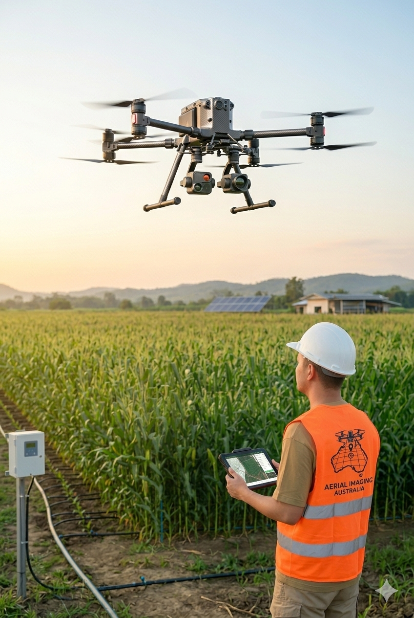
We set out to offer something better: professional-grade aerial imaging delivered byelivered by an operator who actually understands your project and gets it done.
Operating under the broader Spatial Imaging Australia umbrella, we focus specifically on aerial data capture — drone mapping, photogrammetric processing, infrastructure inspection, and environmental monitoring — for clients across Australia.
Why Aerial Imaging Australia?
We combine professional-grade drone equipment with a straightforward, no-jargon approach — accurate aerial data, clean deliverables, on time.
Accurate Data
High-resolution aerial data processed into clean, usable deliverables — every time.
From orthomosaic maps to 3D models, we deliver outputs your team can actually work with."
Reliable Turnaround
No chasing, no delays — you get what you need, when you need it. We keep communication simple and timelines realistic from the moment you get in touch.